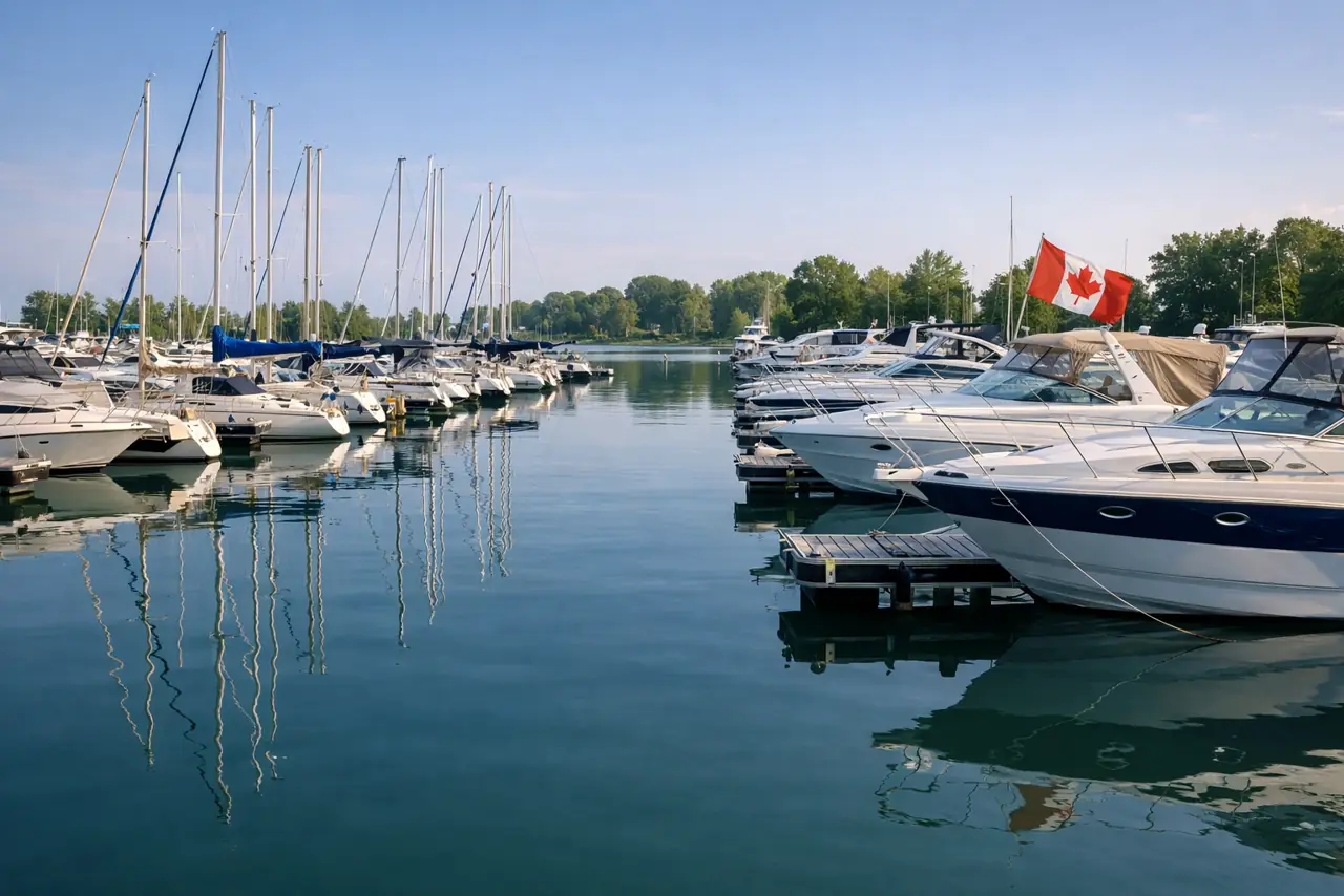
Mallard (Sec) Lake Access Point (#20)
Bonnechere, ON
Loading official weather and marine conditions.
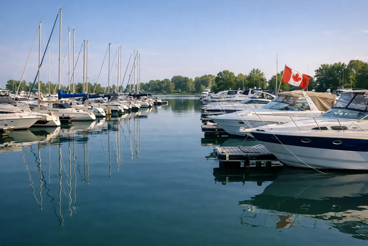
Bonnechere, ON — 🏞️ Ottawa River
What brought you here?
Registration number and hull graphics
Coordinates
Mapped coordinate
Mapped coordinate; operating details remain unverified unless a status source is shown. Confirm locally before towing.
We have no current confirmation this launch is open or closed. Confirm locally before towing.
Report a correction / recent visitBonnechere, ON
Ramp coordinates
45.83017, -77.54328Mapped coordinateCoordinates for Mallard (Sec) Lake Access Point (#20) are source-confirmed against an authoritative map source. Always cross-check against your own GPS or chartplotter before relying on them.
Is there a fee?
The launch fee at Mallard (Sec) Lake Access Point (#20) is not confirmed. Check the official operator or local signage before towing.
Are the coordinates exact?
Coordinates for Mallard (Sec) Lake Access Point (#20) are source-confirmed against an authoritative map source. Always cross-check against your own GPS or chartplotter before relying on them.
Is this launch open?
Status unknown: We have no current confirmation this launch is open or closed. Confirm locally before towing.
Surface: unpaved
Jurisdiction Owner
Not confirmed
Ramp Grade
Not confirmed
Initializing OpenSeaMap...
Trailer Parking
Unknown — confirm locally
Launch Fee
Unknown — confirm locally
Live wind, waves and the 3-day outlook are at the top of this page. Below: official water-level data and the nearest road camera when an approved coordinate is available.
Checking CHS water levels...
Finding nearest official station
Camera feed unavailable
The live camera feed service is temporarily offline. 511 Ontario's map shows the same feeds with current road conditions.
Open 511 Ontario mapCheck 511 Ontario and local road conditions before towing.
Where is Mallard (Sec) Lake Access Point (#20)?
Mallard (Sec) Lake Access Point (#20) is listed as a boat launch in Bonnechere, ON, on Ottawa River. Confirm current access with the official operator before towing.
Is there a fee?
The launch fee at Mallard (Sec) Lake Access Point (#20) is not confirmed. Check the official operator or local signage before towing.
Are the coordinates exact?
Coordinates for Mallard (Sec) Lake Access Point (#20) are source-confirmed against an authoritative map source. Always cross-check against your own GPS or chartplotter before relying on them.
Is this launch open?
Status unknown: We have no current confirmation this launch is open or closed. Confirm locally before towing.
Is Mallard (Sec) Lake Access Point (#20) suitable for deep-V hull boats?
Deep-V suitability at Mallard (Sec) Lake Access Point (#20) is not verified in our dataset. Check water depth and local conditions before launching.
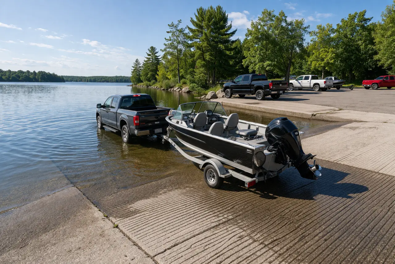
Ottawa River
Details are a planning aid — confirm fees, depth and conditions locally before launching.
Ottawa River