Many beginner navigation mistakes happen because the operator knows the red-right-returning phrase but does not actually understand what the marker system is trying to communicate. The result is memorized trivia without practical confidence. That gets risky in low light, crowded channels, and unfamiliar water.
On Ontario waters, marker systems show up in marinas, river entrances, harbour channels, locks, and approaches where depth changes quickly. If you can read markers as a system instead of isolated colours, your whole navigation picture gets stronger.
This guide is meant to make the subject usable, not academic. When you see a buoy, you should know what question to ask, what safe lane you are in, and what extra caution is still required even if you think the answer is obvious.
<div class="stat-card">**Green**<span>Starboard marker when returning</span></div><div class="stat-card">**100%**<span>Need to keep scanning beyond one buoy</span></div></div>Start with the job of the marker, not the colour alone
A navigation aid is trying to help you do one or more things: stay inside a channel, avoid a hazard, identify an approach, or confirm your position. Colour matters, shape matters, topmark matters, light characteristics matter, and context matters. If you only look at colour, you miss half the message.
The first question is: what kind of water am I in right now? Am I returning from open water into a harbour? Running up a marked river channel? Approaching a marina entrance? Once you answer that, the marker system makes more sense because you know the direction of the marked route.
In practical terms, you want to build a mental corridor, not chase one floating object at a time. A single buoy is one clue. A sequence of buoys is the actual path.
-
Read markers in pairs and sequences when possible.
-
Use chartplotter, paper chart, shoreline references, and markers together.
-
Slow down when the picture is unclear.
Red right returning explained in real language
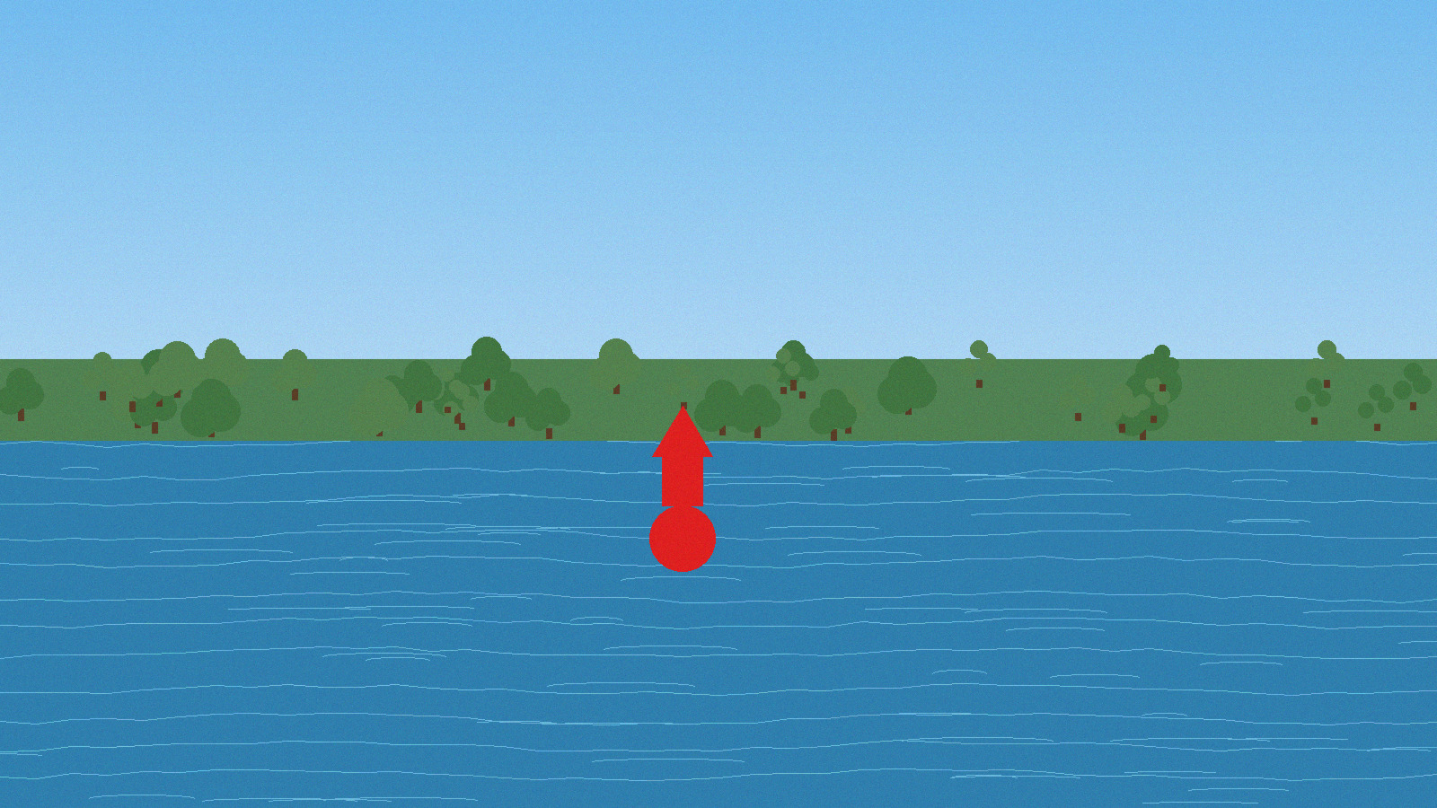
In the North American system used on most Canadian recreational waters, red markers should be kept on your right side when you are returning from open water or heading upstream in a marked channel. Green markers line the other side. That is the basic phrase people remember.
The phrase works best when you know what 'returning' means in the actual situation. At a harbour entrance, it usually means coming in from the lake. In a river, it may mean heading upstream from the mouth. In a confusing area with branches or local traffic patterns, do not guess. Confirm with chart information and local notices where possible.
Remember that the marker is describing the preferred lane, not giving you permission to stop paying attention. Recreational traffic, shoals, wake, and weather can still make the channel feel complicated even when the buoy colours are straightforward.
Shapes, numbers, and what they add to the picture
Shape helps even when glare, distance, or low light makes colour less obvious. Different marker types use shapes to reinforce which side of the channel they belong on. Numbers can also help confirm sequence and progression as you travel along the route.
When conditions are easy, shape may feel like extra detail. When conditions are not easy, shape becomes the backup that prevents a confident mistake. That is why real navigation practice uses every cue available.
If you are relying on electronics, shapes and numbers still matter. Screens can lag, zoom levels can hide detail, and GPS position can feel more exact than it really is when local obstructions or chart offsets exist.
Do not learn markers as a trivia list
Learn them as a decision tree. Which way am I travelling? Where is the safe water likely meant to be? Does the next marker confirm that? If the answers line up, confidence grows. If they do not, slow down and reassess before you commit.
How to handle isolated danger and special-purpose markers
Not every aid is simply red or green channel guidance. Some markers exist to warn you away from a specific hazard or to signal a controlled, restricted, or informational area. When you encounter something that does not fit the basic channel pattern, that is your cue to reduce speed and identify it properly before proceeding.
Operators get into trouble when they force every marker into the most familiar category. If a buoy looks unusual, treat it as a reason to gather more information rather than a reason to guess faster. Caution is cheap. Grounding is expensive.
In practical boating, the right move is often to keep more margin than the marker theoretically requires. If there is room to pass with extra clearance, take the room.
Reading the whole channel picture in current, glare, and traffic
Real navigation is rarely a calm textbook scene. You may have sun glare, floating weeds, crossing traffic, and current all at once. That means you should start interpreting markers well before you reach them. Look ahead to the next pair, then the pair after that. Build the route before you are on top of it.
Current especially can make a perfectly understood marker line harder to follow because the boat drifts sideways between fixes. Hold enough speed for steering authority, keep your scan moving, and correct early rather than waiting until you are nearly outside the intended lane.
At busy harbour mouths, also respect what other operators are likely trying to do. Marker awareness and collision avoidance work together. Staying in the channel is not enough if you ignore crossing traffic.
Night, fog, and reduced-visibility realities
Once visibility drops, buoy reading becomes a slower, more disciplined game. Light characteristics, radar or electronics if equipped, sound signals, and conservative speed all matter more. This is not the time for casual interpretation.
Many boaters discover they are less comfortable with markers at dusk than they expected. Colours are softer, shoreline references disappear, and the water itself can turn into a dark mirror. If you are still learning, build experience in good visibility first and do not force a reduced-visibility run just to prove a point.
Whenever the picture starts feeling uncertain, back the pace down and rebuild certainty. There is no prize for staying on plane into confusion.
Practice markers the smart way
Take a familiar channel on a quiet day and call the aids out loud. Tell yourself what each one means, which side you are keeping it on, and what the next aid should be. That active processing builds skill much faster than passively floating by.
Next, study the channel on a chart after the run and compare what you saw with what was represented. That tie between paper, screen, and real water is what turns memorized phrases into working navigation sense.
Once you can do that reliably in easy conditions, you will feel a lot less mental load when the weather, traffic, or light level gets more demanding.
Bottom line
Markers help honest boaters make better decisions. They do not absolve you from depth awareness, speed judgement, or traffic scanning. Treat them as part of a system, not a shortcut. When you do that, navigation gets calmer, safer, and much more repeatable.
</div>